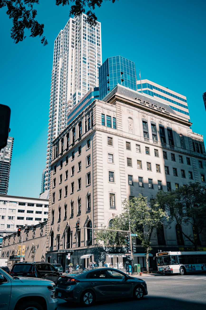
streets
The city
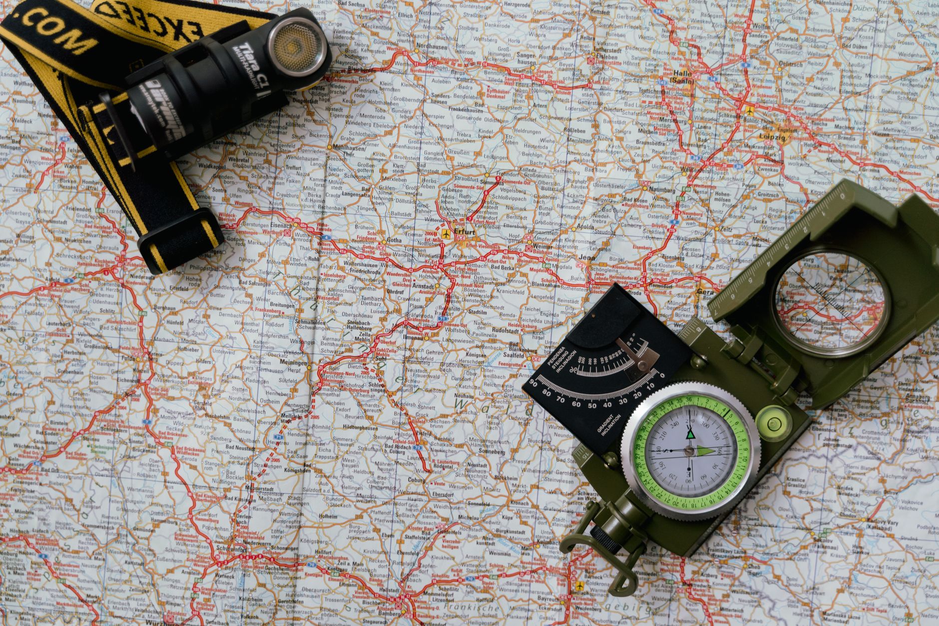
The block grid, the one-way streets, the shortcut through the park.
1:10 000
A hand-drawn map-making and travel-journal app — sketch maps, plot routes, and journal the places worth remembering.
Three steps. No cartography degree required.
Pick a city, a coast, or a mountain — carTO pulls the real base map and streets.
Trace your route or landmark with a pen that feels like ink, on paper that looks like paper.
Print on archival paper, share it, or fold it into your pocket and go.
Draw more, fight your tools less.
Pressure-sensitive strokes that bleed and settle like a pigment liner.
Automatic declination, so your map is actually pointed the right way.
Plot a walk, see the distance and the climb, then go do it.
Export at true scale for archival giclée printing, fold lines included.
Browse maps other drawers made, and remix them with credit.
Base maps for cities, coasts, mountains — or a blank sheet if you'd rather.
Sheets in progress, from our drawers.
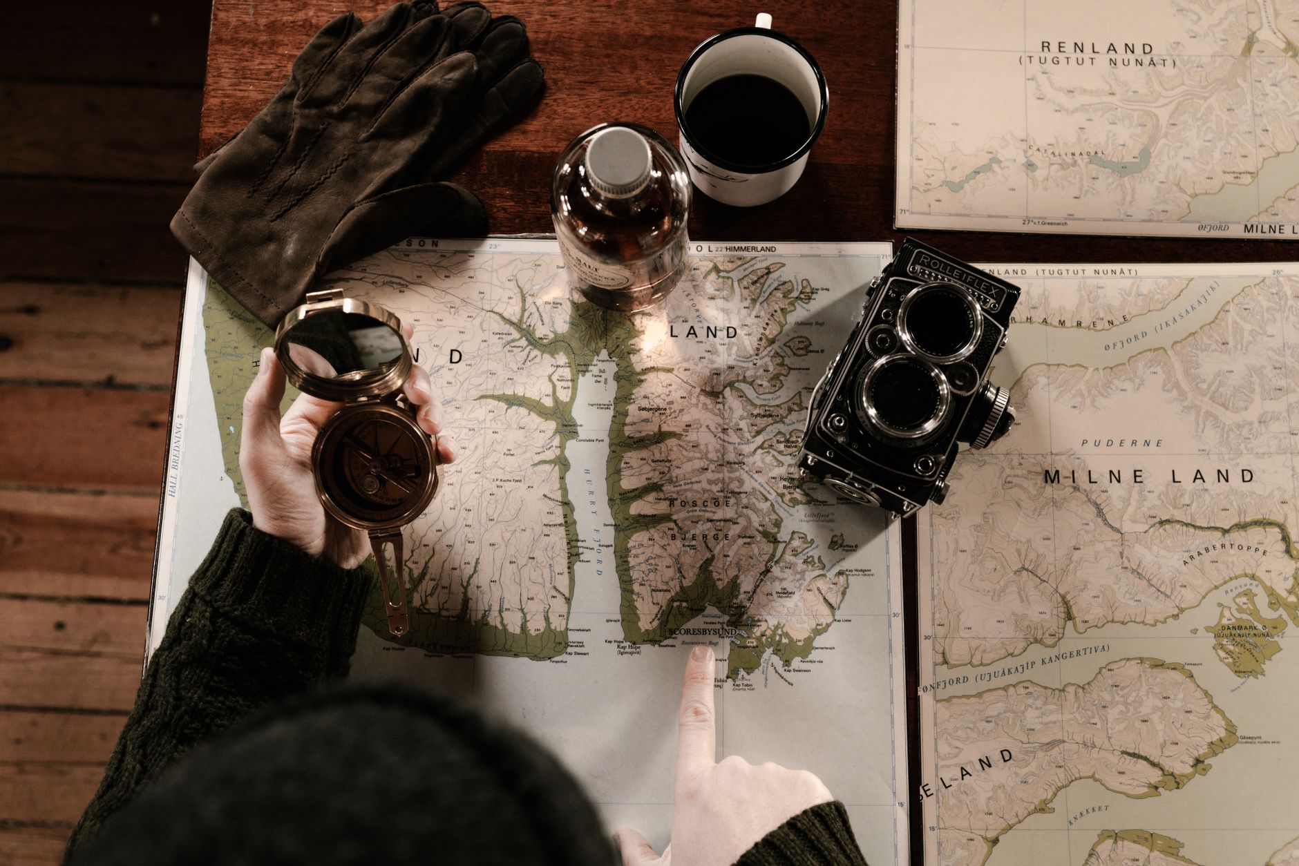

Every block, from an angle.
Isometric maps show a place the way memory does — from above and a little to the side. carTO builds one from your streets, then lets you ink over it.
One map, drawn by hand.
Each one a place we couldn't stop drawing.
The block grid, the one-way streets, the shortcut through the park.
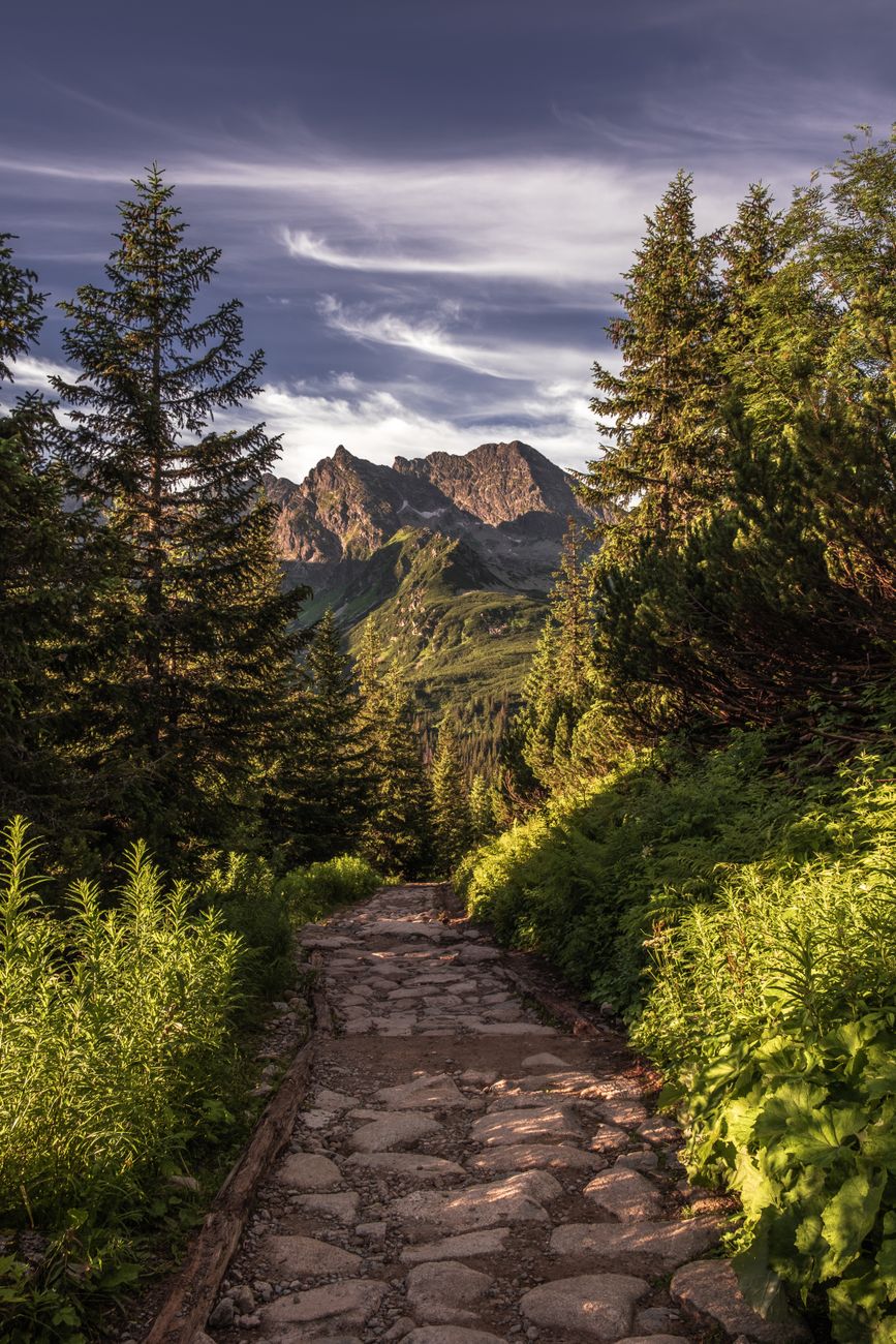
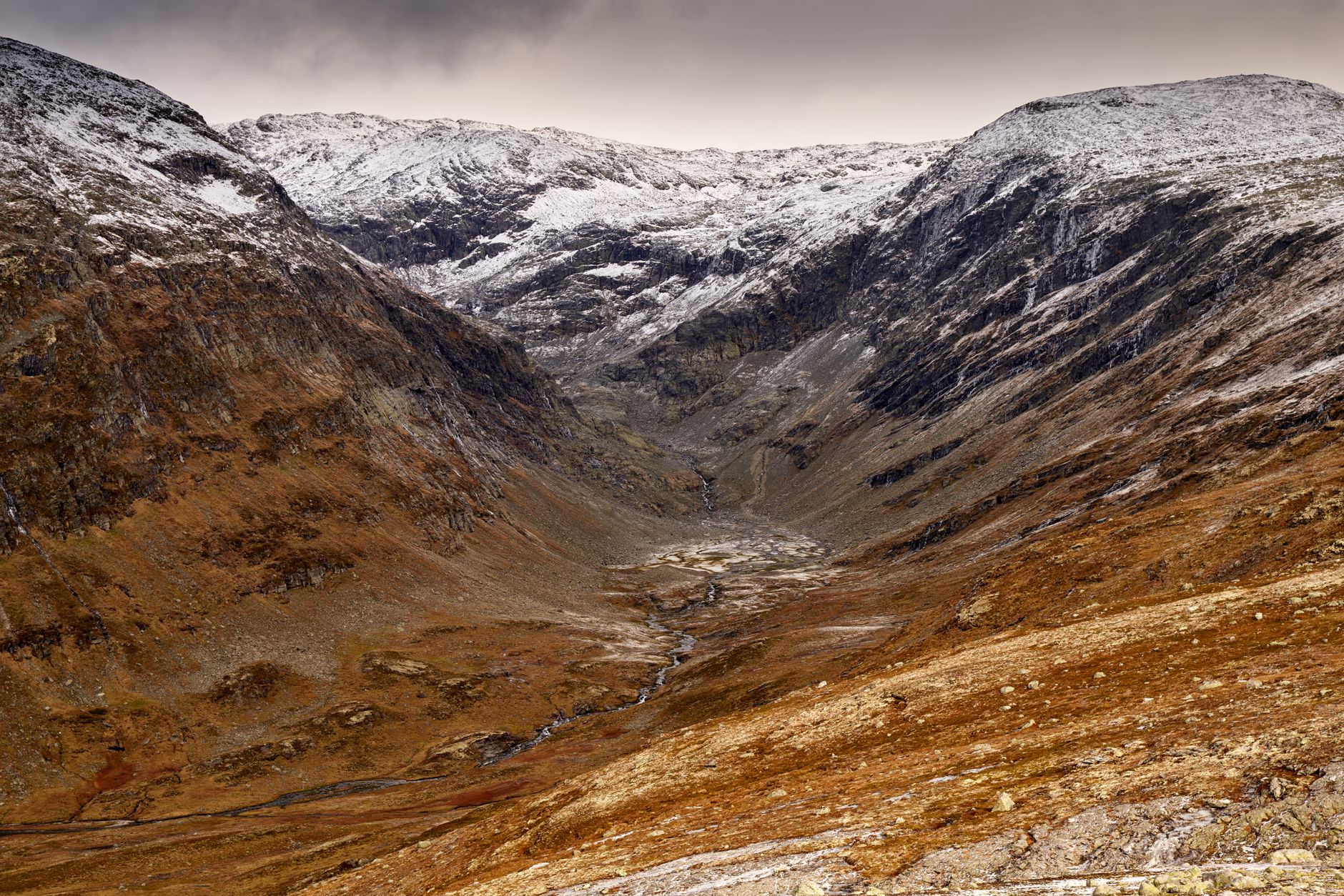
Twenty meters between lines, and every one of them earned.
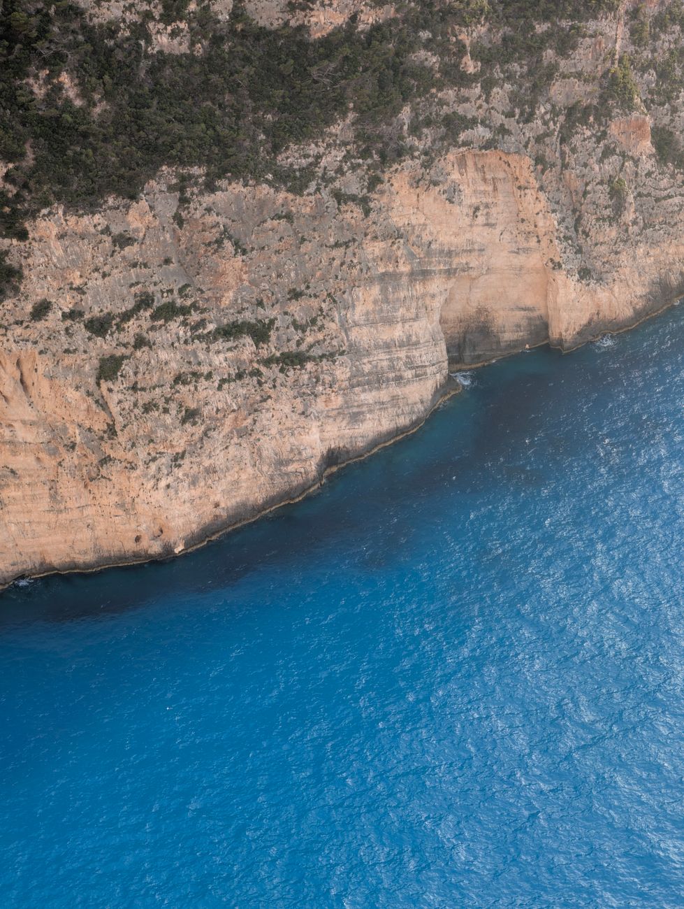
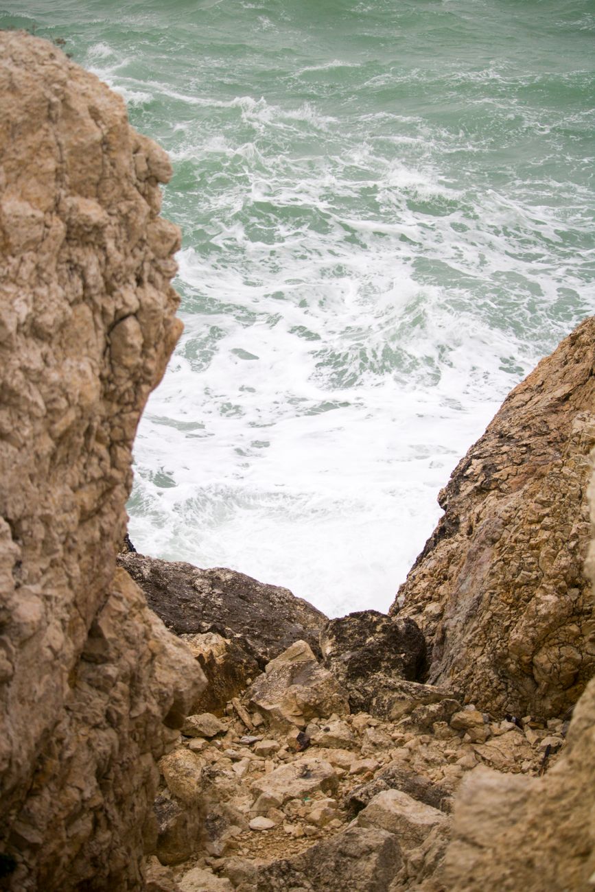
Where the land stops and the water starts keeping score.

Dashed lines through the pines, confidence-rated.
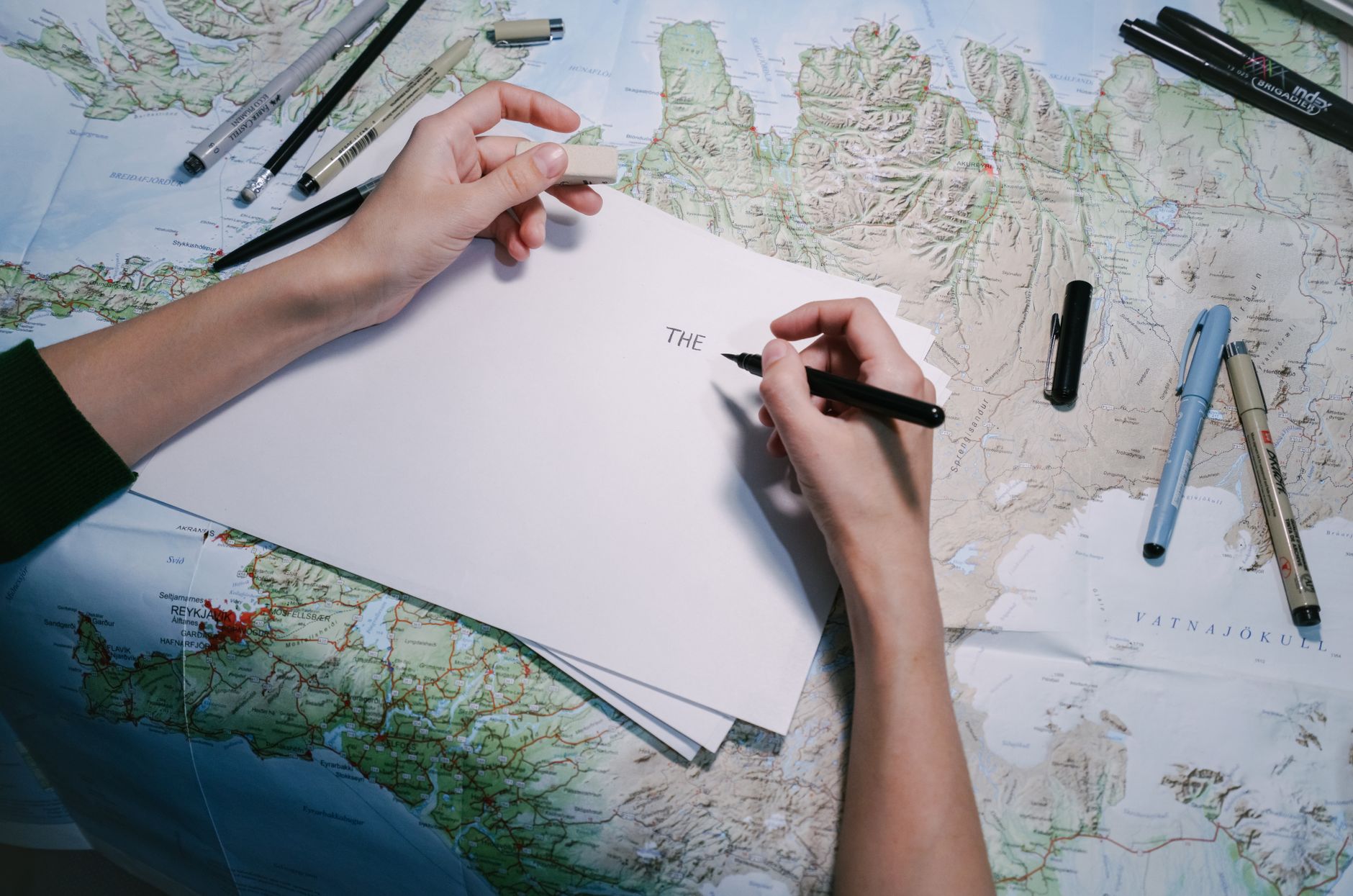
I drew my first map because I kept getting lost in a city I was born in. The street names didn't help — the feeling of the place did. So I started drawing the feeling.
Ten years and a thousand sheets later, the lesson is the same: a good map doesn't tell you where to go. It tells you what it's like to be there. The rest is just lines.
So here's the invitation: pick a place you love, or one you're trying to understand. Draw it. The map you end up with is yours in a way no GPS pin ever will be.
Live, from our backend.
People who finally found their way.
"I've tried every map app. carTO is the only one that feels like sitting down with a real pen."
"The isometric city view is unreal. It's how I actually remember my neighborhood."
"I printed my route on archival paper and framed it. It's the hike and the memory in one."
Where we're going.
Hand-drawn map engine + print export, live in beta.
Community maps and a public atlas of shared sheets.
Field-note sync — GPS track, then ink over the walk.
carTO print studio: archival paper, shipped folded.
draw the way.