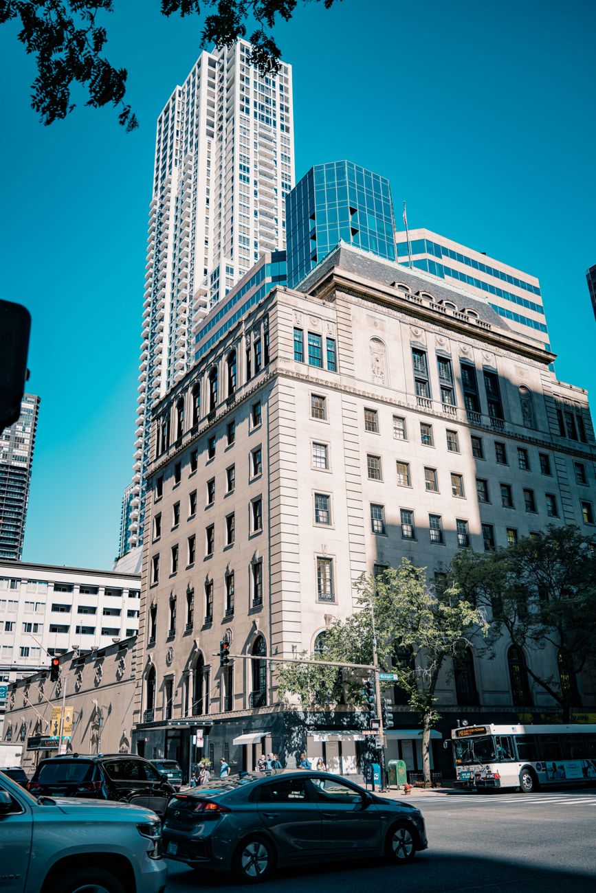
streets
The city
The block grid, the one-way streets, the shortcut through the park.
1:10 000
Three ways to draw the world — city grids, coastlines, and contour country. Each from real base data.
Each one a place we couldn't stop drawing.
The block grid, the one-way streets, the shortcut through the park.
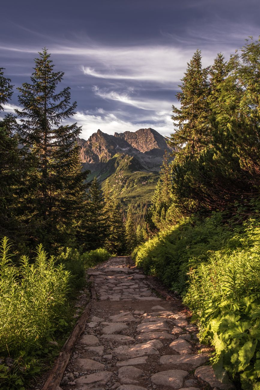
Twenty meters between lines, and every one of them earned.
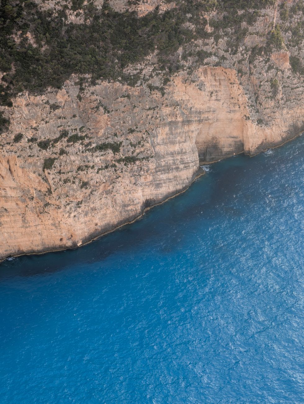
Where the land stops and the water starts keeping score.
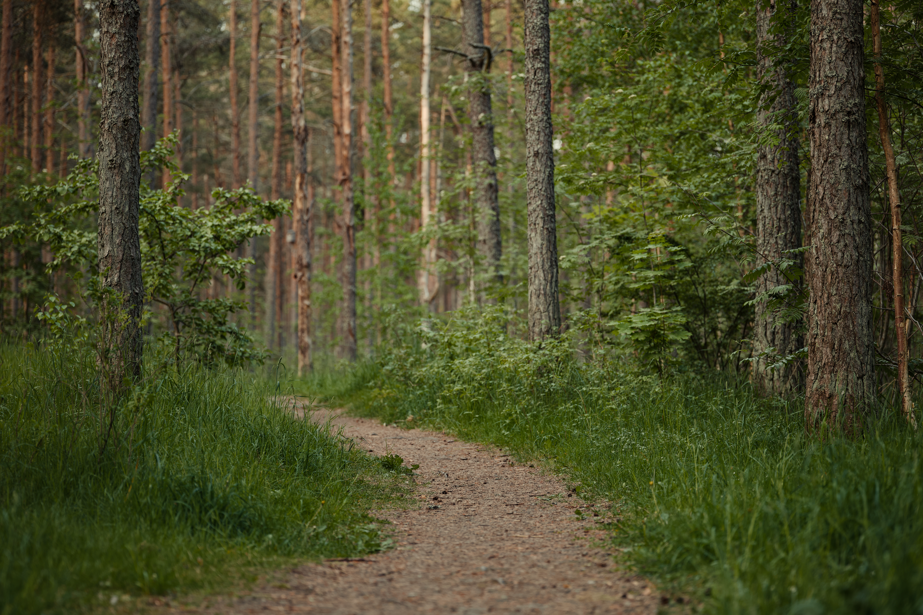
Dashed lines through the pines, confidence-rated.